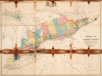
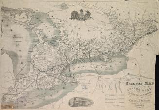
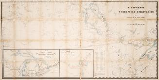
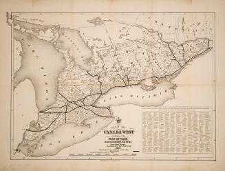
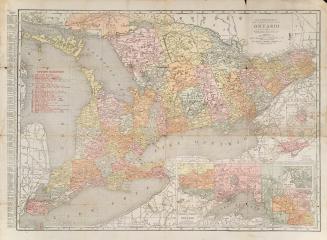
Rand, McNally & Co.'s new railroad and county map of the Province of Ontario compiled from the latest Government surveys and drawn to an accurate scale
Date1877
Names
Rand McNally and Company
(publisher)
FormatMap
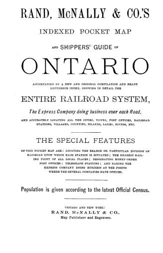
NotesFolds up with covers titled Rand, McNally & Co.'s indexed map of Ontario, Province of Canada, includes index.
Dimensions56.5 cm x 76.5 cm (22 1/4 in. x 30 1/8 in.)
ScaleBar scale of statute miles
Language
CollectionBaldwin Collection of Canadiana
Usage Rights
Public Domain
(Learn
More)
Object Number912-1304-R122-FRAGILE-FOLD

Approximately 1915