Skip to main content
Search
Objects
(180,943)
People
(41,105)
Close
Refine Results
Show Only Public Domain
Format
*
Map
(548)
Date
to
Names
Unknown
(37)
Burland Lithographic Co.
(36)
Goad, Charles E.
(34)
Chas. E. Goad, Ltd.
(33)
Robertson, J. Ross (John Ross), 1841-1918
(19)
Copp Clark Company
(18)
Chewitt, William, 1753-1849
(15)
Queen's Printer for Ontario
(15)
Ontario. Department of Highways
(15)
MacDiarmid, F. G.
(14)
Load all
Subject
Maps
(524)
Maps and surveys
(113)
Land subdivision
(94)
Roads
(54)
Railroads
(41)
Fire insurance
(34)
Real property
(28)
Real estate
(25)
Harbour
(23)
Election districts
(16)
Load all
Collection
Baldwin Collection of Canadiana
(540)
Humanities and Social Sciences department
(5)
Archives of Ontario
(1)
Arthur Conan Doyle Collection
(1)
Local History Collection, Leaside branch
(1)
Language
English
(504)
French
(31)
German
(5)
No linguistic content
(3)
Italian
(3)
Latin
(2)
Dutch
(1)
Building, monument or park
Toronto Harbour
(16)
Fort York
(8)
Canadian National Exhibition (CNE)
(1)
Fort Frontenac
(1)
Fort George
(1)
Louisbourg (N.S.)
(1)
Moulthorp Lumber Company
(1)
Osgoode Hall (Toronto, Ontario)
(1)
Provincial Lunatic Asylum
(1)
Queen's Park (Toronto, Ont.)
(1)
Load all
City, town or township
Toronto
(201)
Québec
(13)
Montréal
(10)
Ottawa
(5)
Hamilton
(4)
King (Ont. : Township)
(4)
Vaughan
(4)
Kawartha Lakes
(3)
Kingston
(3)
Thunder Bay
(3)
Load all
Neighbourhood
Harbour
(38)
Railway Lands
(23)
Garrison
(22)
King-Spadina
(20)
St. Lawrence
(20)
Exhibition
(16)
Toronto Islands
(15)
Financial District
(14)
Port Lands
(12)
Downtown
(9)
Load all
North-south street
Yonge Street
(11)
Bathurst Street
(7)
Dovercourt Road
(5)
Dufferin Street
(5)
Bay Street
(3)
Christie Street
(3)
Leslie Street
(3)
Lippincott Street
(3)
Peter Street
(3)
Sherbourne Street
(3)
Load all
East-west street
Bloor Street West
(18)
College Street
(7)
Davenport Road
(7)
Dundas Street West
(5)
Front Street West
(5)
Queen Street West
(5)
King Street West
(4)
Bloor Street East
(3)
Dupont Street
(3)
Front Street East
(3)
Load all
Sort:
Relevance
Date (Older First)
Date (Newer First)
Title (A–Z)
Title (Z–A)
Last Updated (Ascending)
Last Updated (Descending)
List
Images
Table
/ 28
Next
Filters
548 results for
*
Result type
Objects
People
Map
Canada
Clear All Filters
British Columbia mining divisions
Approximately 1914
Smith Sound, Kennedy & Robeson Channels
1878
Asher & Adams' Ontario
1871
Manitoba
Approximately 1910
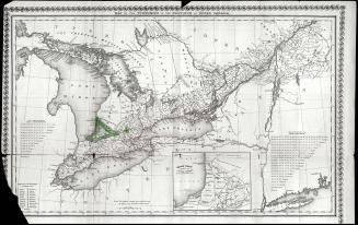
Map of the townships of the province of Upper Canada
1826
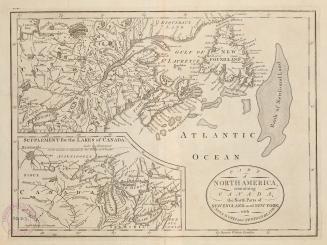
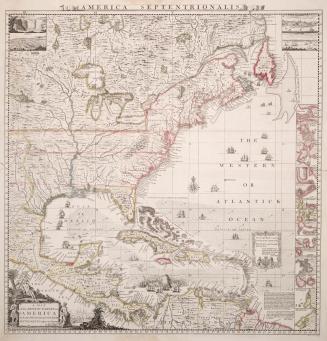
Part of North America, containing Canada, the north parts of New England and New York, with Nova Scotia and Newfoundland
1755
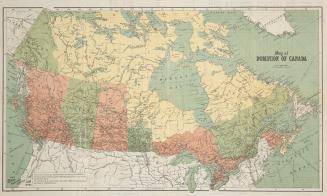
Map of Dominion of Canada
Approximately 1906
Map of Dominion of Canada
Approximately 1910
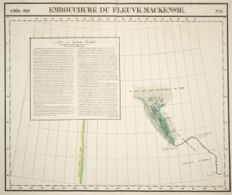
Embouchure du fleuve Mackensie
1827
A map of the British Empire in America with the French and Spanish settlements adjacent thereto
Approximately 1733
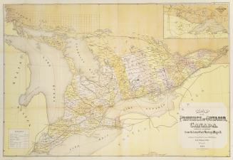
Map of the province of Ontario Canada compiled & prepared from the latest Gov't surveys & maps &c.
1874
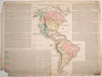
Amerique Historique, Physique et Politique en 1825
1826
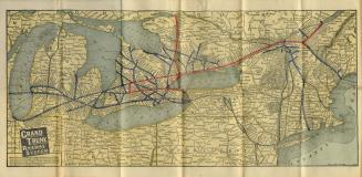
Map of Grand Trunk Railway system and connections
Approximately 1901
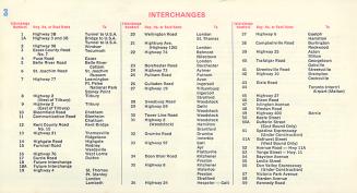
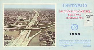
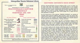
Macdonald-Cartier Freeway Highway 401
1966
Macdonald-Cartier Freeway Highway 401
1966
Macdonald-Cartier Freeway Highway 401
1966
Macdonald-Cartier Freeway Highway 401
1966
Macdonald-Cartier Freeway Highway 401
1966
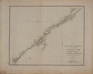
The River St. Lawrence accurately drawn from D'Anville's map
Approximately 1790
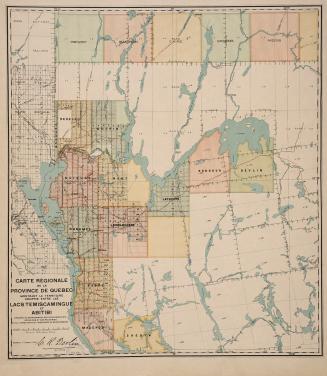
Carte régionale de la Province de Québec montrant le territoire compris entre les lacs Temiscamingue et Abitibi
17 March 1910
/ 28
Next
RDF
XML
JSON