Skip to main content
Search
Objects
(181,316)
People
(41,139)
Close
Refine Results
Show Only Public Domain
Format
*
Map
(11)
Date
to
Names
Bayfield, Henry Wolsey, 1795-1885
(1)
Brockville and Ottawa Railway Company
(1)
City of Montreal
(1)
Fisk and Company
(1)
Goad, Charles E.
(1)
Hunt and Eaton
(1)
John Lovell (Firm)
(1)
Longman & Co.
(1)
London Magazine
(1)
J & C Walker
(1)
Load all
Subject
Maps
(10)
Cities and towns
(4)
Railroads
(2)
Colonies
(1)
Forts and fortifications
(1)
Maps and surveys
(1)
Nautical charts
(1)
Collection
Baldwin Collection of Canadiana
(11)
Language
English
(11)
City, town or township
*
Montréal
(11)
Kingston
(2)
Ottawa
(2)
Québec
(2)
Toronto
(2)
Belleville
(1)
Brockville
(1)
Hamilton
(1)
London (Ontario)
(1)
Sort:
Relevance
Date (Older First)
Date (Newer First)
Title (A–Z)
Title (Z–A)
Last Updated (Ascending)
Last Updated (Descending)
List
Images
Table
/ 1
Filters
11 results for
*
Result type
Objects
People
Map
Canada
Montréal
Clear All Filters
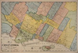
Map of the City of Montréal prepared expressly for Lovell's Montréal Directory for 1897-8
1897
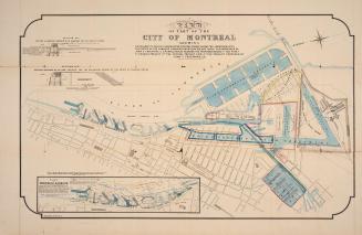
Map of part of the city of Montréal shewing …
Approximately 1850
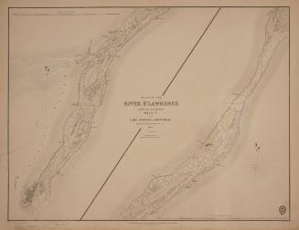
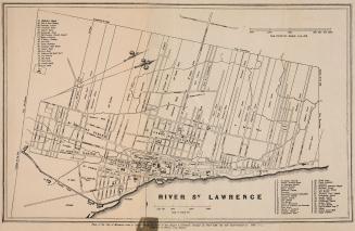
Plans of the River St. Lawrence above Québec sheet V from Lake St. Peter to Montréal
1834
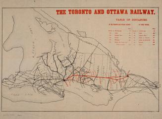
The Toronto and Ottawa Railway
1877
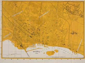
Montréal 1918
1918
Plan of the City of Montréal
1839
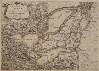
The Isles of Montréal, as they have been survey'd by the French Engineers
1761
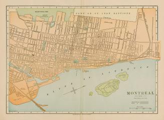
Montréal
Approximately 1893
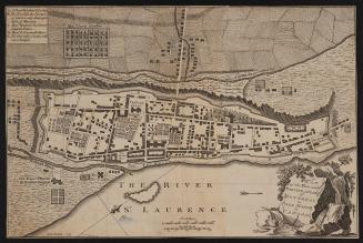
Plan of the town and fortification of Montréal or Ville Marie in Canada
1758
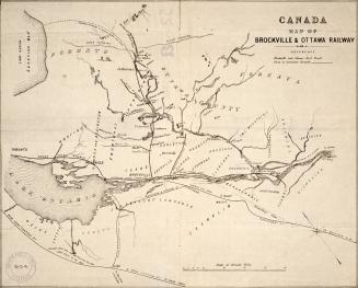
Canada map of Brockville & Ottawa Railway
Approximately 1856
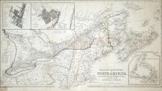
British Possessions in North America, with part of the United States, compiled from official sources
1840
/ 1
RDF
XML
JSON