Skip to main content
Search
Objects
(181,123)
People
(41,122)
Close
Refine Results
Show Only Public Domain
Format
Map
(51)
Date
to
Names
Alexander & Cable Lithographing Co. Ltd
(6)
Copp Clark Company
(6)
Browne, H. J.
(4)
City Engineer's Office
(4)
Rolph, Smith & Co.
(4)
Browne, W. A.
(3)
Hart & Rawlinson
(3)
Canada. Department of Agriculture
(2)
Cotterell, Alfred
(2)
Maclear & Co.
(2)
Load all
Subject
Maps
(51)
Roads
(30)
Maps and surveys
(20)
Election districts
(15)
Land subdivision
(6)
Railroads
(6)
Buildings
(5)
Civic improvement
(5)
Harbour
(5)
Parks
(3)
Load all
Collection
Baldwin Collection of Canadiana
(49)
Humanities and Social Sciences department
(1)
Local History Collection, Leaside branch
(1)
Language
English
(51)
Building, monument or park
Toronto Harbour
(4)
Fort York
(1)
City, town or township
*
Toronto
(51)
Neighbourhood
Financial District
(4)
Harbour
(4)
Exhibition
(3)
King-Spadina
(3)
Railway Lands
(3)
Fairbank
(2)
Garrison
(2)
Parkdale
(2)
Seaton Village
(2)
St. Lawrence
(2)
Load all
North-south street
Dufferin Street
(1)
Jarvis Street
(1)
Yonge Street
(1)
East-west street
Bloor Street East
(1)
Bloor Street West
(1)
Eglinton Avenue West
(1)
King Street East
(1)
St. Clair Avenue East
(1)
St. Clair Avenue West
(1)
Sort:
Relevance
Date (Older First)
Date (Newer First)
Title (A–Z)
Title (Z–A)
Last Updated (Ascending)
Last Updated (Descending)
List
Images
Table
/ 3
Next
Filters
51 results for
*
Result type
Objects
People
City maps
Toronto
Clear All Filters
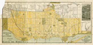
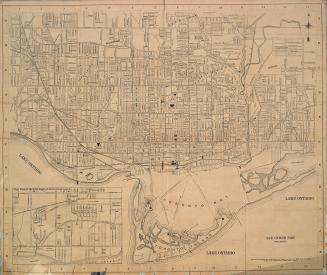
Plan of the city of Toronto
1903
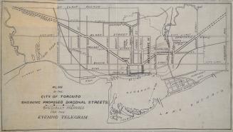
Plan of the City of Toronto showing proposed diagonal streets
1905
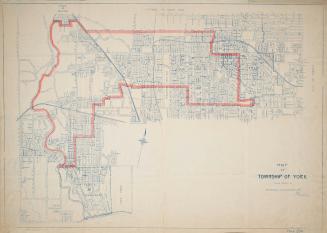
Map of the township of York 1923
1923
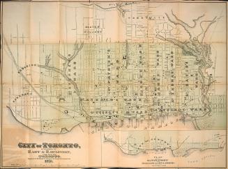
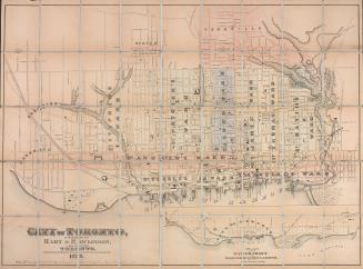
Hart & Rawlinson's Map of the City of Toronto, with Suburbs of Yorkville, Parkdale, Seaton Village, Brockton, and Ben-Lamond
1878
Foster's map of Toronto
1899
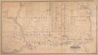
City of Toronto
1878
Map of Yorkville and its vicinity
1878
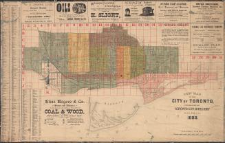
New map of the city of Toronto published for the Toronto City Directory.
1889
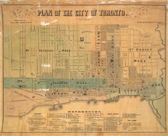
Plan of the city of Toronto.
1858
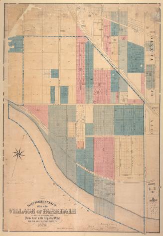
Wadsworth & Unwin's map of the village of Parkdale compiled and drawn from plans filed in the registry office and the most recent surveys
1879
Plan of the City of Toronto
1909
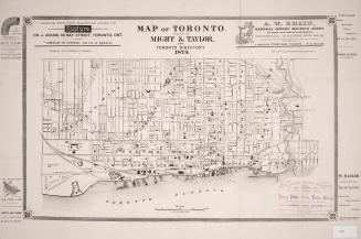
Map of Toronto. Published by Might & Taylor, for Toronto Directory 1879
1879
Bryce's new index map of Toronto
1888
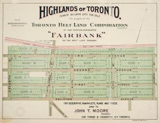
Highlands of Toronto plan of building lots for sale the property of the Toronto Belt Land Corporation in that portion designated ''Fairbank'' on the Belt Line Railway.
1910
Plan of the city of Toronto showing the government survey and the registered subdivision into lots
1862
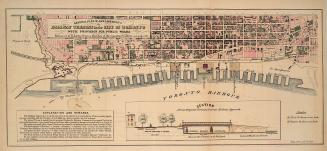
General plan of arrangements for railway termini in the city of Toronto
1853
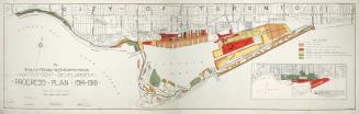
The Toronto Harbor Commissioners Waterfront Development Progress Plan 1914-1918
Between 1914 and 1918
Map of the city of Toronto Canada West
1858
Belt line map shewing northern suburbs of Toronto
1890
Foster's vest pocket map of Toronto indexed
1895
/ 3
Next
RDF
XML
JSON