Skip to main content
Search
Objects
(180,942)
People
(41,095)
Close
Refine Results
Show Only Public Domain
Format
Map
(74)
Picture
(1)
Date
to
Names
Copp Clark Company
(8)
Alexander & Cable Lithographing Co. Ltd
(6)
Browne, H. J.
(4)
City Engineer's Office
(4)
Canada. Department of Agriculture
(4)
Rolph, Smith & Co.
(4)
Browne, W. A.
(3)
Hogenberg, Frans, 1535-1590
(3)
Braun, Georg, 1541-1622
(3)
J.G. Foster & Co.
(3)
Load all
Subject
Maps
(74)
Roads
(31)
Maps and surveys
(22)
Election districts
(16)
Cities and towns
(11)
Land subdivision
(8)
Railroads
(6)
Buildings
(5)
Civic improvement
(5)
Harbour
(5)
Load all
Collection
Baldwin Collection of Canadiana
(73)
Humanities and Social Sciences department
(1)
Local History Collection, Leaside branch
(1)
Language
English
(70)
Latin
(4)
French
(2)
German
(1)
Building, monument or park
Toronto Harbour
(4)
Fort York
(1)
City, town or township
Toronto
(51)
Québec
(6)
Montréal
(4)
Detroit
(1)
Halifax
(1)
Palma
(1)
Regina
(1)
Walkerville (Windsor, Ont.)
(1)
Windsor
(1)
Windsor||Ojibway
(1)
Load all
Neighbourhood
Financial District
(4)
Harbour
(4)
Exhibition
(3)
King-Spadina
(3)
Railway Lands
(3)
Fairbank
(2)
Garrison
(2)
Parkdale
(2)
Seaton Village
(2)
St. Lawrence
(2)
Load all
North-south street
Dufferin Street
(1)
Jarvis Street
(1)
Yonge Street
(1)
East-west street
Bloor Street East
(1)
Bloor Street West
(1)
Eglinton Avenue West
(1)
King Street East
(1)
St. Clair Avenue East
(1)
St. Clair Avenue West
(1)
Sort:
Relevance
Date (Older First)
Date (Newer First)
Title (A–Z)
Title (Z–A)
Last Updated (Ascending)
Last Updated (Descending)
List
Images
Table
/ 4
Next
Filters
75 results for
*
Result type
Objects
People
City maps
Clear All Filters
Mexico regia et celebris Hispaniae Novae civitas.
1572
Salisburgensis Iurisdictio
Approximately1588
Foster's vest pocket map of Toronto.
1903
Mexique
1683
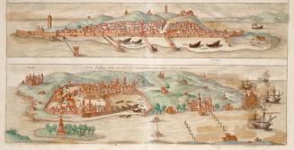
Goa Fortissima Indiae Urbs in Christianorum Potestatem Anno Salutis 1509 Devenit Diu
Approximately 1572
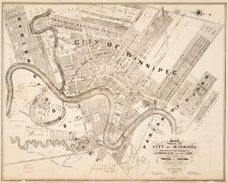
Map shewing the city of Winnipeg, and parts of the parishes of St
1881
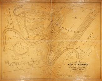
Map shewing the city of Winnipeg, and parts of the parishes of St
1881
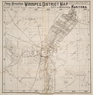
Young & Brownlee's Winnipeg District map shewing within a radius of 20 miles of the city of Winnipeg, Manitoba
1888
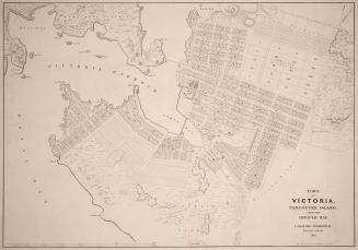
Town of Victoria, Vancouver Island from the official map
1861
Belt line map shewing northern suburbs of Toronto
1890
Foster's vest pocket map of Toronto indexed
1895
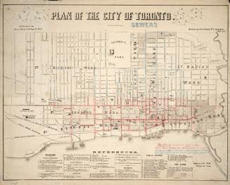
Plan of the city of Toronto
1858
Topographical plan of the city of Toronto, in the province of Canada, from actual survey, by J Stoughton Dennis, Provin'l. land surveyor.
1851
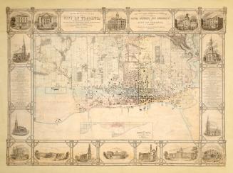
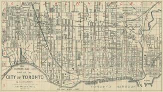
Map of the city of Toronto & suburbs
1902
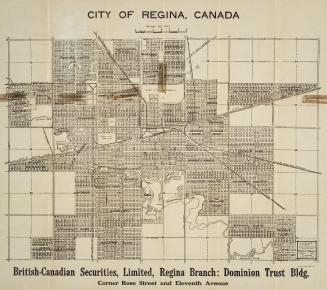
City of Regina, Canada
1912
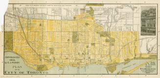
Plan of the city of Toronto
1903
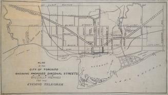
Plan of the City of Toronto showing proposed diagonal streets
1905
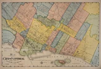
Map of the City of Montréal prepared expressly for Lovell's Montréal Directory for 1897-8
1897
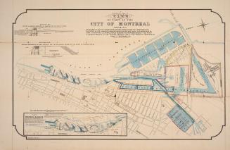
Map of part of the city of Montréal shewing …
Approximately 1850
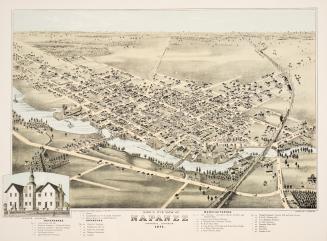
Bird's eye view of Napanee, Ontario, Canada. 1874.
1874
/ 4
Next
RDF
XML
JSON