Skip to main content
Search
Objects
(181,123)
People
(41,122)
Close
Refine Results
Show Only Public Domain
Format
Map
(5)
Date
to
Names
Bryce, William
(1)
Cane, James
(1)
Browne, H. J.
(1)
Fuller & Bencke
(1)
Fleming, Sandford, 1827-1915
(1)
Fleming, Sandford, Sir, 1827-1915
(1)
Hugh Scobie (Firm)
(1)
Browne, John O. (Owensworth), 1808-1881
(1)
James Cane (Toronto, Ont.)
(1)
Dennis, John Stoughton, 1820-1885
(1)
Load all
Subject
*
Buildings
(5)
Maps
(5)
Maps and surveys
(3)
Harbour
(2)
Roads
(2)
Land subdivision
(1)
Parks
(1)
Railroads
(1)
Wharves
(1)
Collection
Baldwin Collection of Canadiana
(5)
Language
English
(5)
Building, monument or park
Toronto Harbour
(2)
City, town or township
Toronto
(5)
Neighbourhood
Downtown
(1)
Financial District
(1)
Harbour
(1)
Kensington-Grange
(1)
King-Spadina
(1)
Railway Lands
(1)
St. Lawrence
(1)
Sort:
Relevance
Date (Older First)
Date (Newer First)
Title (A–Z)
Title (Z–A)
Last Updated (Ascending)
Last Updated (Descending)
List
Images
Table
/ 1
Filters
5 results for
*
Result type
Objects
People
City maps
Buildings
Clear All Filters
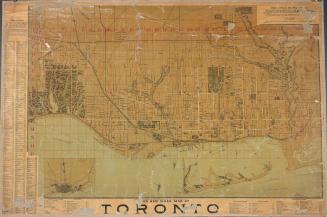
Bryce's new index map of Toronto
1888
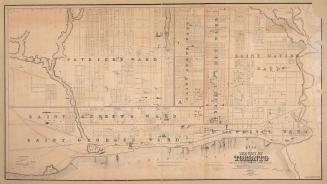
Plan of the city of Toronto showing the government survey and the registered subdivision into lots
1862
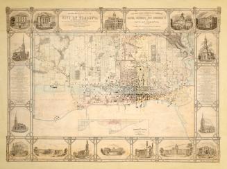
Topographical plan of the city of Toronto, in the province of Canada, from actual survey, by J Stoughton Dennis, Provin'l. land surveyor.
1851
Toronto in 1834
1834
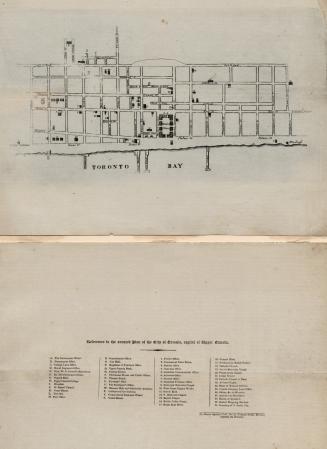
Topographical plan of the city and liberties of Toronto in the province of Canada
1842
/ 1
RDF
XML
JSON