Skip to main content
Search
Objects
(181,123)
People
(41,122)
Close
Refine Results
Show Only Public Domain
Format
Map
(16)
Date
to
Names
Copp Clark Company
(4)
Browne, H. J.
(3)
Browne, W. A.
(3)
J.G. Foster & Co.
(2)
Rolph, Smith & Co.
(2)
Hart & Rawlinson
(2)
Burland Lithographic Co.
(1)
Alexander & Cable Lithographing Co. Ltd
(1)
City Engineer's Office
(1)
Ellis, J.
(1)
Load all
Subject
*
Election districts
(16)
Maps
(16)
Roads
(15)
Maps and surveys
(8)
Advertising
(1)
Civic improvement
(1)
Public works
(1)
Railroads
(1)
Collection
Baldwin Collection of Canadiana
(16)
Language
English
(16)
City, town or township
Toronto
(15)
Neighbourhood
Brockton
(1)
Parkdale
(1)
Seaton Village
(1)
Yorkville
(1)
Sort:
Relevance
Date (Older First)
Date (Newer First)
Title (A–Z)
Title (Z–A)
Last Updated (Ascending)
Last Updated (Descending)
List
Images
Table
/ 1
Filters
16 results for
*
Result type
Objects
People
City maps
Election districts
Clear All Filters
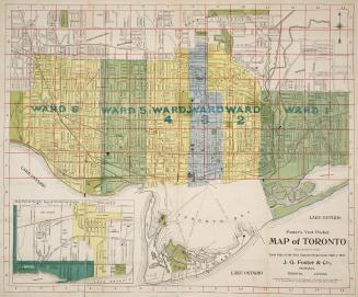
Foster's vest pocket map of Toronto.
1903
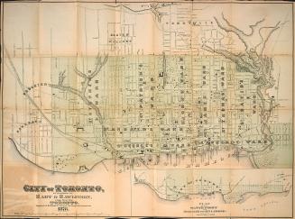
Hart & Rawlinson's Map of the City of Toronto, with Suburbs of Yorkville, Parkdale, Seaton Village, Brockton, and Ben-Lamond
1878
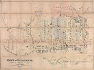
City of Toronto
1878
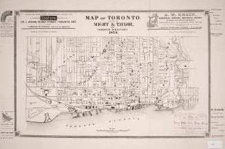
Map of Toronto. Published by Might & Taylor, for Toronto Directory 1879
1879
Foster's vest pocket map of Toronto indexed
1895
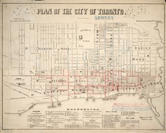
Plan of the city of Toronto
1858
Map of the city of Toronto published by Might Directory Co. prepared in the office of John Galt, C. E. and M. E.
1895
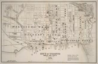
City of Toronto compiled from surveys made to the present date 1874
1874
Map of the City of Toronto
Approximately 1905
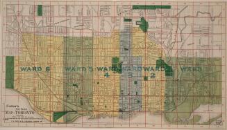
Plan of the City of Toronto and suburbs shewing new & old ward divisions
1891
City of Toronto compiled from surveys made to the present date, 1873
1873
Map of Toronto
1878
Plan of the City of Toronto
1910
Plan of the city of Toronto
1892
Plan of the city of Toronto, Canada West, 1857
1857
Correct map of the City of Toronto published for the Toronto City Directory.
1892
/ 1
RDF
XML
JSON