Skip to main content
Search
Objects
(181,123)
People
(41,125)
Close
Refine Results
Show Only Public Domain
Format
Map
(5)
Date
to
Names
*
Rolph, Smith & Co.
(5)
Cotterell, Alfred
(2)
Browne, H. J.
(1)
Browne, W. A.
(1)
Wadsworth & Unwin
(1)
Unwin, Browne & Sankey
(1)
Willing & Williamson
(1)
Subject
Maps
(5)
Land subdivision
(4)
Maps and surveys
(3)
Election districts
(1)
Real estate
(1)
Real property
(1)
Roads
(1)
Collection
Baldwin Collection of Canadiana
(5)
Language
English
(5)
City, town or township
Toronto
(5)
Neighbourhood
Seaton Village
(2)
Parkdale
(1)
Rosedale-Moore Park
(1)
Trinity Bellwoods
(1)
Yorkville
(1)
North-south street
Bathurst Street
(1)
Yonge Street
(1)
East-west street
Bloor Street West
(2)
Bloor Street East
(1)
St. Clair Avenue East
(1)
St. Clair Avenue West
(1)
Sort:
Relevance
Date (Older First)
Date (Newer First)
Title (A–Z)
Title (Z–A)
Last Updated (Ascending)
Last Updated (Descending)
List
Images
Table
/ 1
Filters
5 results for
*
Result type
Objects
People
Plans (maps)
Rolph, Smith & Co.
Clear All Filters
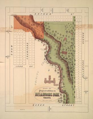
Plan of proposed additions to Bellwoods Park Toronto.
1886
Map of Yorkville and its vicinity
1878
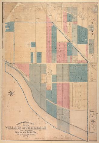
Wadsworth & Unwin's map of the village of Parkdale compiled and drawn from plans filed in the registry office and the most recent surveys
1879
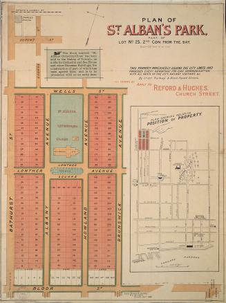
Plan of St. Alban's Park, part of lot no. 25, 2nd con: from the Bay
1884
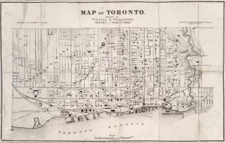
Map of Toronto
1878
/ 1
RDF
XML
JSON