Skip to main content
Search
Objects
(180,943)
People
(41,100)
Close
Refine Results
Show Only Public Domain
Format
Map
(136)
Ephemera
(1)
Picture
(1)
Date
to
Names
Robertson, J. Ross (John Ross), 1841-1918
(19)
Unknown
(12)
Unwin, Browne & Sankey
(10)
Alexander & Cable Lithographing Co. Ltd
(9)
Copp Clark Company
(9)
Maclear & Co.
(7)
Denison, George T. (George Taylor), 1839-1925
(6)
Browne, John Ownsworth, 1808-1881
(5)
Rolph, Smith & Co.
(5)
Dennis, John Stoughton, 1820-1885
(5)
Load all
Subject
Maps
(135)
Maps and surveys
(88)
Land subdivision
(69)
Real property
(25)
Real estate
(23)
Harbour
(19)
Roads
(17)
Military buildings
(15)
Government buildings
(11)
Forts and fortifications
(10)
Load all
Collection
Baldwin Collection of Canadiana
(136)
Humanities and Social Sciences department
(1)
Toronto Public Library Archives
(1)
Language
English
(133)
No linguistic content
(3)
French
(1)
Italian
(1)
Spanish
(1)
Building, monument or park
Toronto Harbour
(13)
Fort York
(8)
Canadian National Exhibition (CNE)
(1)
Louisbourg (N.S.)
(1)
Osgoode Hall (Toronto, Ontario)
(1)
Queen's Park (Toronto, Ont.)
(1)
Rosedale Ravine (Toronto, Ontario)
(1)
Toronto Public Library. Dufferin/St. Clair branch
(1)
Union Station (Toronto, Ont. : 1852-1870)
(1)
City, town or township
Toronto
(118)
Centre Wellington (Ont. : Township)
(1)
Québec
(1)
Neighbourhood
Harbour
(27)
Garrison
(20)
Railway Lands
(20)
Exhibition
(15)
King-Spadina
(15)
St. Lawrence
(14)
Toronto Islands
(14)
Port Lands
(11)
Financial District
(9)
Seaton Village
(8)
Load all
North-south street
Yonge Street
(11)
Bathurst Street
(7)
Dufferin Street
(5)
Dovercourt Road
(4)
Bay Street
(3)
Christie Street
(3)
Leslie Street
(3)
Lippincott Street
(3)
Peter Street
(3)
Spadina Avenue
(3)
Load all
East-west street
Bloor Street West
(17)
Davenport Road
(7)
College Street
(6)
Front Street West
(5)
Dundas Street West
(4)
King Street West
(4)
Queen Street West
(4)
Bloor Street East
(3)
Dupont Street
(3)
Front Street East
(3)
Load all
Sort:
Relevance
Date (Older First)
Date (Newer First)
Title (A–Z)
Title (Z–A)
Last Updated (Ascending)
Last Updated (Descending)
List
Images
Table
/ 7
Next
Filters
138 results for
*
Result type
Objects
People
Plans (maps)
Clear All Filters
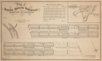
Plan of the Magnus Brown's Homestead addition to Winnipeg
1873
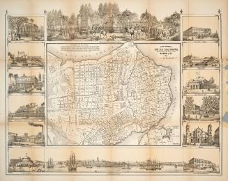
Plano Pintoresco de la Habana con Numeros de las Casas
1853
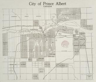
City of Prince Albert Canada
1912
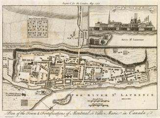
Plan of the Town and Fortification of Montreal or Ville Marie in Canada
1760
A large and particular plan of Shegnekto Bay, and the circumjacent country, with the forts and settlements of the French till dispossess'd by the English in June 1755 Drawn on the spot by an Officer
1755
Map showing proposed project for lighting and buoying Panama Canal and approaches
1911
Map showing line of Welland Canal between Lakes Erie & Ontario
1907
Map showing Trent navigation and Murray Canal
1909
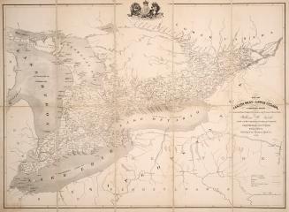
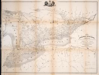
Map of Canada West or Upper Canada compiled from Government plans, original documents, personal observation
1852
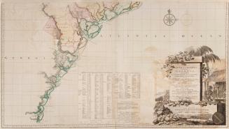
A map of South Carolina and a part of Georgia containing the whole sea coast, all the Islands, Inlets, Rivers, Creeks, Parishes, Townships, Boroughs, (...)
1757
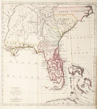
Plan of Amelia Island in East Florida Taken from De Brahm's map of South Carolina & Georgia, A chart of the entrance into St. Mary's River, A chart of(...)
1770
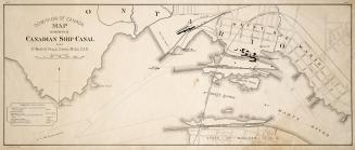
Dominion of Canada map showing Canadian ship Canal also St
1907
Map of Canada West or Upper Canada compiled from Government plans, original documents, personal observation
1852
Plan of Amabel
1855
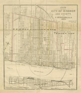
Plan of the city of Windsor and Vicinity by G
1894
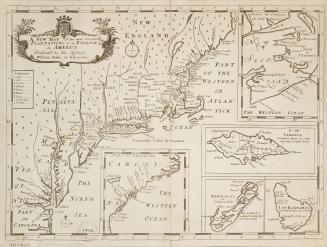
A new map of the most considerable plantations of the English in America dedicated to His Highness William Duke of Glocester
1700
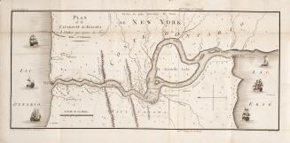
Plan de la cataracte de Niagara et l'isthme qui separe les Lacs Erie et Ontario.
1801
Belt line map shewing northern suburbs of Toronto
1890
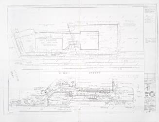
Addition and alterations to the Weston Public Library site plan
1980-09
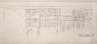
(1818) Plan of the Town of York
Approximately 1910
/ 7
Next
RDF
XML
JSON