Skip to main content
Search
Objects
(181,123)
People
(41,125)
Close
Refine Results
Show Only Public Domain
Format
Map
(17)
Date
to
Names
City Engineer's Office
(4)
Alexander & Cable Lithographing Co. Ltd
(3)
Browne, H. J.
(3)
Copp Clark Company
(3)
Browne, W. A.
(2)
Rust, C. H. (Charles Henry), 1852-1927
(2)
Ellis, J.
(1)
B. Sawden
(1)
Fuller & Bencke
(1)
Fleming, Ridout & Schreiber
(1)
Load all
Subject
*
Maps
(17)
Roads
(17)
Maps and surveys
(11)
Election districts
(8)
Land subdivision
(4)
Civic improvement
(2)
Railroads
(2)
Annexation (Municipal government)
(1)
Buildings
(1)
Harbour
(1)
Load all
Collection
Baldwin Collection of Canadiana
(17)
Language
English
(16)
French
(1)
Building, monument or park
Toronto Harbour
(1)
City, town or township
Toronto
(16)
Neighbourhood
East York||Fairbank
(1)
Harbour
(1)
High Park
(1)
Lambton
(1)
Railway Lands
(1)
Seaton Village
(1)
St. Lawrence
(1)
University
(1)
Weston
(1)
Yorkville
(1)
Load all
North-south street
Bathurst Street
(1)
Yonge Street
(1)
East-west street
Davenport Road
(1)
Dundas Street East
(1)
Dundas Street West
(1)
Esplanade
(1)
Kingston Road
(1)
Sort:
Relevance
Date (Older First)
Date (Newer First)
Title (A–Z)
Title (Z–A)
Last Updated (Ascending)
Last Updated (Descending)
List
Images
Table
/ 1
Filters
17 results for
*
Result type
Objects
People
Plans (maps)
Roads
Clear All Filters
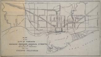
Plan of the City of Toronto showing proposed diagonal streets
1905
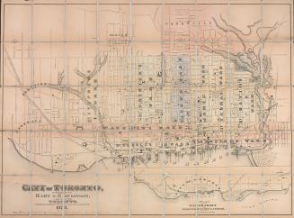
City of Toronto
1878
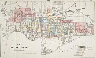
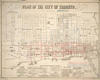
Plan of the City of Toronto
1909
Plan of the city of Toronto showing the government survey and the registered subdivision into lots
1862
Belt line map shewing northern suburbs of Toronto
1890
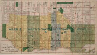
Foster's vest pocket map of Toronto indexed
1895
Plan of the city of Toronto
1858
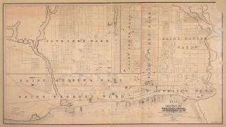
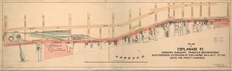
Plan of Esplanade St., shewing railway tracks & obstructions, also proposed extension of Esplanade 40 or 60 ft. to the south, for street purposes
1884
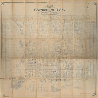
Map of township of York and city of Toronto
Approximately 1909
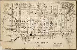
City of Toronto compiled from surveys made to the present date, 1873
1873
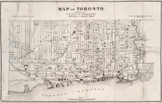
Map of Toronto
1878
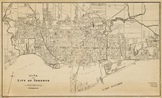
Plan of the City of Toronto
1910
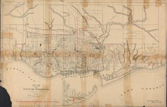
Plan of the city of Toronto
1892
Plan of the city of Toronto, Canada West, 1857
1857
Plan de la cataracte de Niagara et l'isthme qui separe les Lacs Erie et Ontario.
1801
Plan of the city of Toronto, shewing proposed system of parks and boulevards to accompany Mayor McMurrich's report to council, 11th November 1882.
11 November 1882
York
Approximately 1872
/ 1
RDF
XML
JSON