Skip to main content
Search
Objects
(181,123)
People
(41,125)
Close
Refine Results
Show Only Public Domain
Format
Map
(68)
Ephemera
(1)
Date
to
Names
Unwin, Browne & Sankey
(10)
Robertson, J. Ross (John Ross), 1841-1918
(8)
Alexander & Cable Lithographing Co. Ltd
(7)
Unknown
(6)
Dennis, John Stoughton, 1820-1885
(5)
Browne, John Ownsworth, 1808-1881
(4)
Denison, George T. (George Taylor), 1839-1925
(4)
Copp Clark Company
(4)
Maclear & Co.
(4)
Rolph, Smith & Co.
(4)
Load all
Subject
*
Land subdivision
(69)
Maps
(69)
Maps and surveys
(56)
Real property
(25)
Real estate
(23)
Estates
(5)
Government buildings
(4)
Roads
(4)
Harbour
(3)
Military buildings
(3)
Load all
Collection
Baldwin Collection of Canadiana
(69)
Language
English
(69)
Building, monument or park
Toronto Harbour
(2)
Rosedale Ravine (Toronto, Ontario)
(1)
City, town or township
Toronto
(69)
Neighbourhood
Harbour
(10)
King-Spadina
(9)
Railway Lands
(8)
Seaton Village
(8)
Kensington-Grange
(7)
St. Lawrence
(7)
Garrison
(6)
Palmerston-Sussex Ulster
(6)
Yorkville
(6)
Financial District
(5)
Load all
North-south street
Yonge Street
(9)
Bathurst Street
(6)
Christie Street
(3)
Dovercourt Road
(3)
Dufferin Street
(3)
Lippincott Street
(3)
Spadina Avenue
(3)
Bay Street
(2)
Huron Street
(2)
Keele Street
(2)
Load all
East-west street
Bloor Street West
(16)
Davenport Road
(7)
College Street
(6)
Dundas Street West
(4)
King Street West
(4)
Bloor Street East
(3)
Dupont Street
(3)
Queen Street West
(3)
Annette Street
(2)
Dundas Street East
(2)
Load all
Sort:
Relevance
Date (Older First)
Date (Newer First)
Title (A–Z)
Title (Z–A)
Last Updated (Ascending)
Last Updated (Descending)
List
Images
Table
/ 4
Next
Filters
69 results for
*
Result type
Objects
People
Plans (maps)
Land subdivision
Clear All Filters
Plan of subdivision of part of lot no. 32, conn. II, now in the City of Toronto ... the property of the Land Security Co.y.
1890
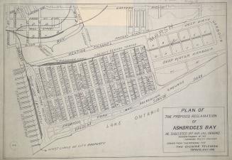
Plan of the proposed reclamation of Ashbridges Bay as suggested by Mr. Jas. Oborne superintendent of the Canadian Pacific Railway
1908
Plan of subdivision of lots 7 and 8, plan 446 West Toronto Junction
1887
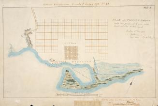
(1788) Plan of Toronto Harbour with the proposed town and part of the settlement, Québec 6th Dec. 1788, Gothermann, Capn. Commandg. Rl. Engrs. Colonial Correspondence Canada (Québec) 1790 no. 47 Plan B
Approximately 1908
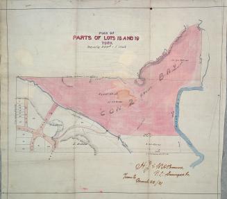
Plan of parts of lots 18 and 19 York
1881
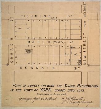
Plan of survey shewing the school reservation in the town of York
1837
Plan of building lots abutting upon Queen Street East in the city of Toronto
1850
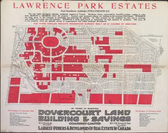
Lawrence Park estates and southern addition Strathgowan, Toronto, Ontario
1910
Plan of villa lots for sale, part of lots nos. 36 & 37, con. 2 from bay, in the township of York
1890
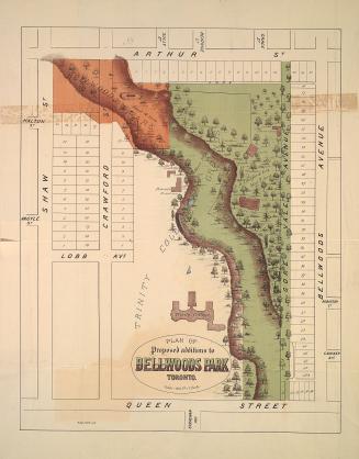
Plan of proposed additions to Bellwoods Park Toronto.
1886
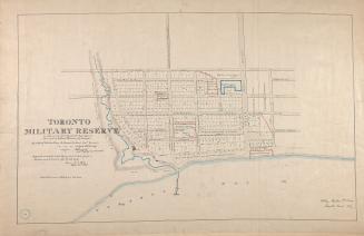
(1837) Toronto military reserve as laid out by Captn Bonnycastle Royal Engineers and resurveyed by William Hawkins Dy. Surveyor
Approximately 1908
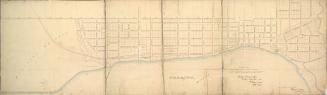
Toronto
1837
Map of Yorkville and its vicinity
1878
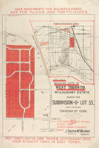
"Willoughby estate"; plan of the subdivision of part of lot 35, con. II from bay, township of York
1880
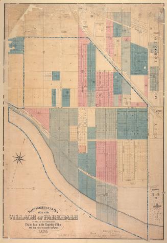
Wadsworth & Unwin's map of the village of Parkdale compiled and drawn from plans filed in the registry office and the most recent surveys
1879
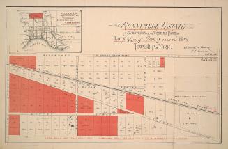
Runnymede Estate; a subdivision of the westerly parts of lots 39 and 40, con. 2 from the bay, township of York
1884
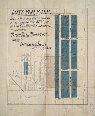
Plan of lots for sale in Dovercourt
1883
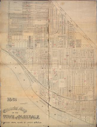
Edwards' map of the town of Parkdale compiled from plans of latest surveys
1887
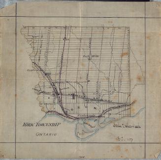
York Township, Ontario
1873
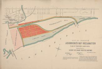
City of Toronto Ashbridge's Bay reclamation, plan of proposed subdivision shewing location of factory sites, wharf properties, and parks
1896
/ 4
Next
RDF
XML
JSON