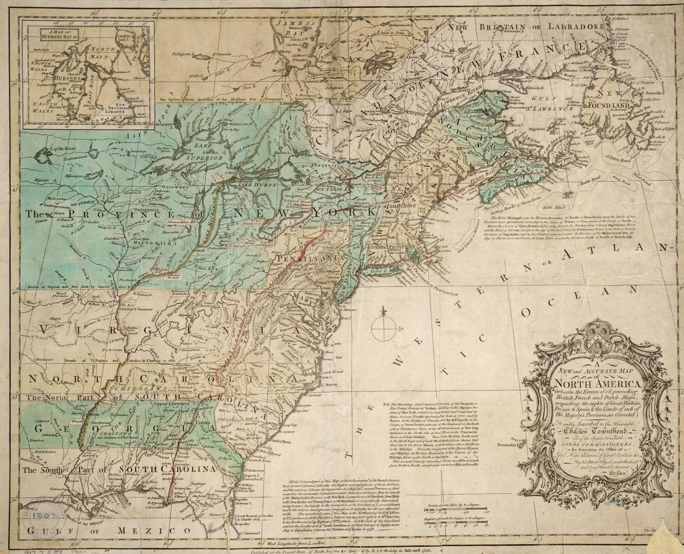

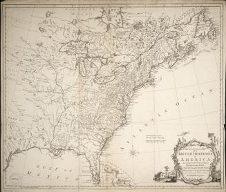
A new and accurate map of North America
Date1755
Names
Huske, Ellis
(cartographer)
R. & I. Dodsley
(publisher)
FormatMap
NotesA new and accurate map of North America (wherein the errors of all preceeding British, French and Dutch Maps respecting the rights of Great Britain, France & Spain & the Limits of each of His Majesty's Provinces, are Corrected)
Subject
Medium
Dimensions42.5 cm x 51 cm (16 3/4 in. x 20 1/16 in.)
Scale69 British statute miles to a degree
Language
CollectionBaldwin Collection of Canadiana
Usage Rights
Public Domain
(Learn More)
Call Number / Accession Number912-7-H79-SMALL

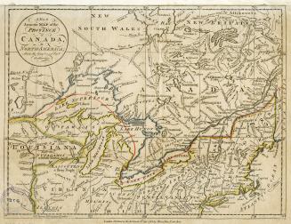
Overton, Henry, 1706-1764
Approximately 1760
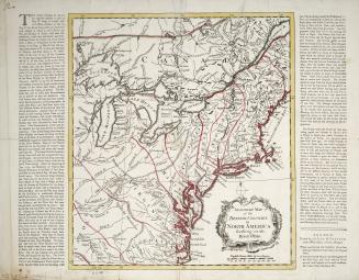
Bowen, Emmanuel, 1693?-1767
Approximately 1740
Bowen, Emmanuel, 1693?-1767
1747
Bowen, Emmanuel, 1693?-1767
1744