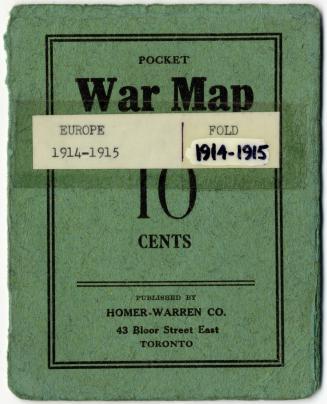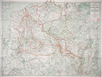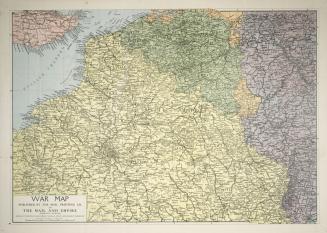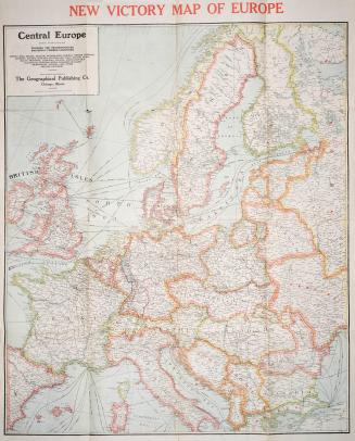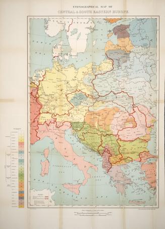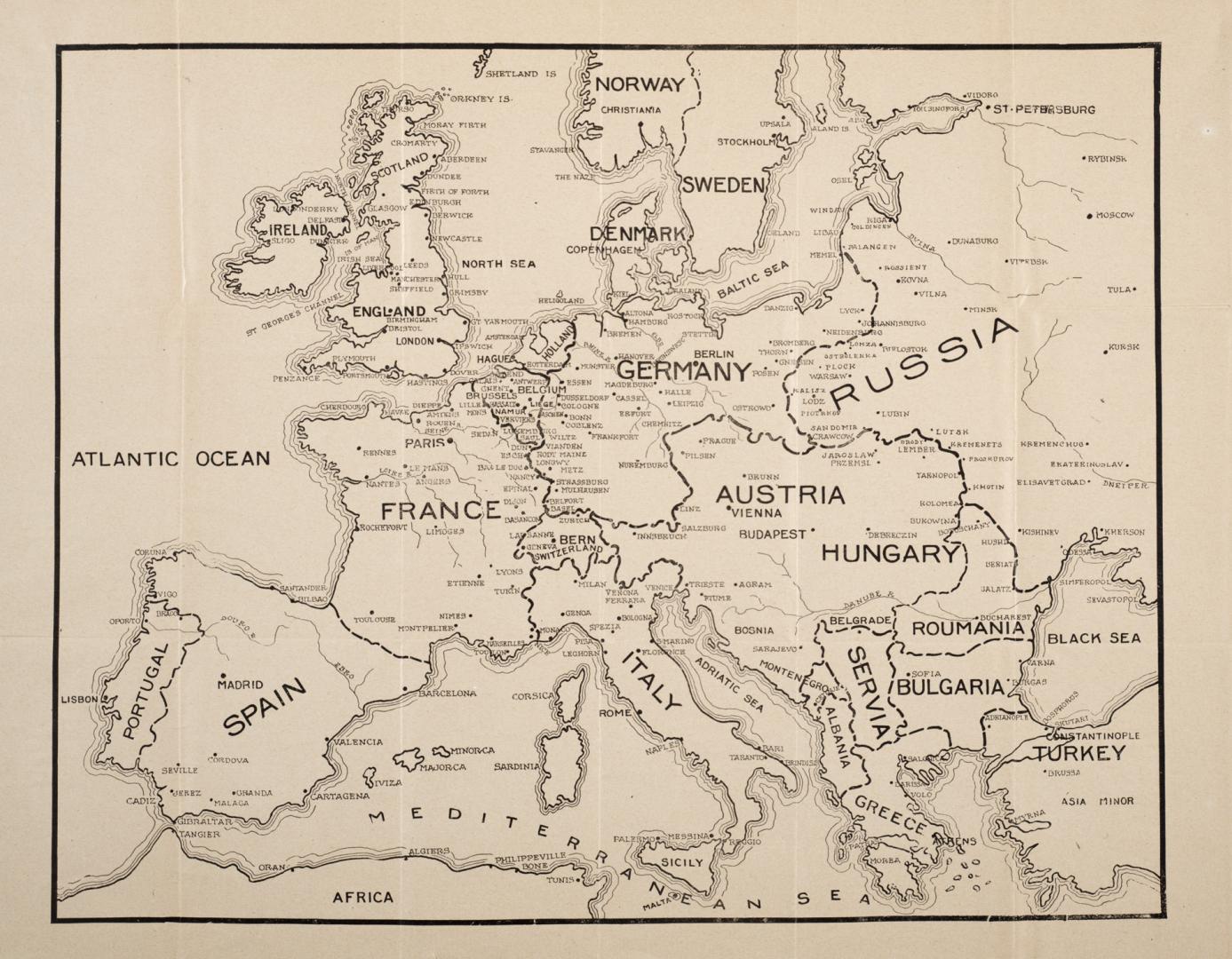

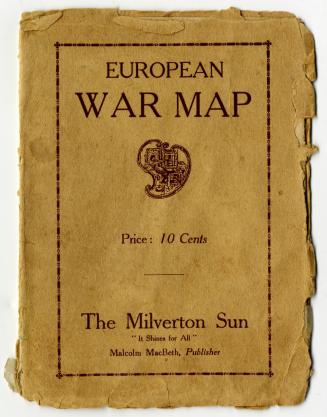
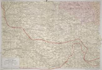
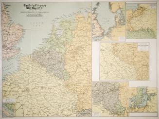
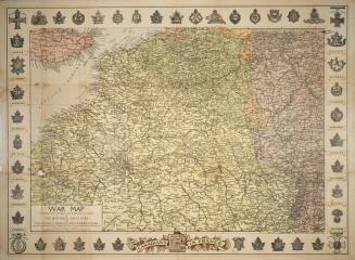
European war map showing the countries involved, principal cities, towns, and fortified positions
Date1914 circa
Names
Metropolitan Life Insurance Co.
(publisher)
Unknown
(author)
Format
Subject
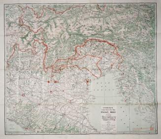
Region or district:Europe
Medium
Dimensions38 x 48 cm.
Extent
- 38 x 48 cm.
Language
CollectionBaldwin Collection of Canadiana
Usage Rights
Public Domain
(Learn More)
Call Number / Accession Number940-41022-E79
Dewey Number940.41022 E79
1914
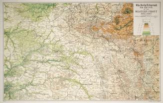
1918 circa
1915 circa