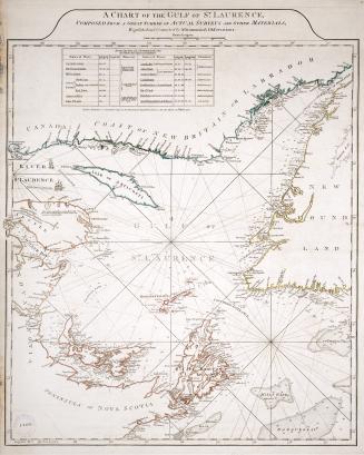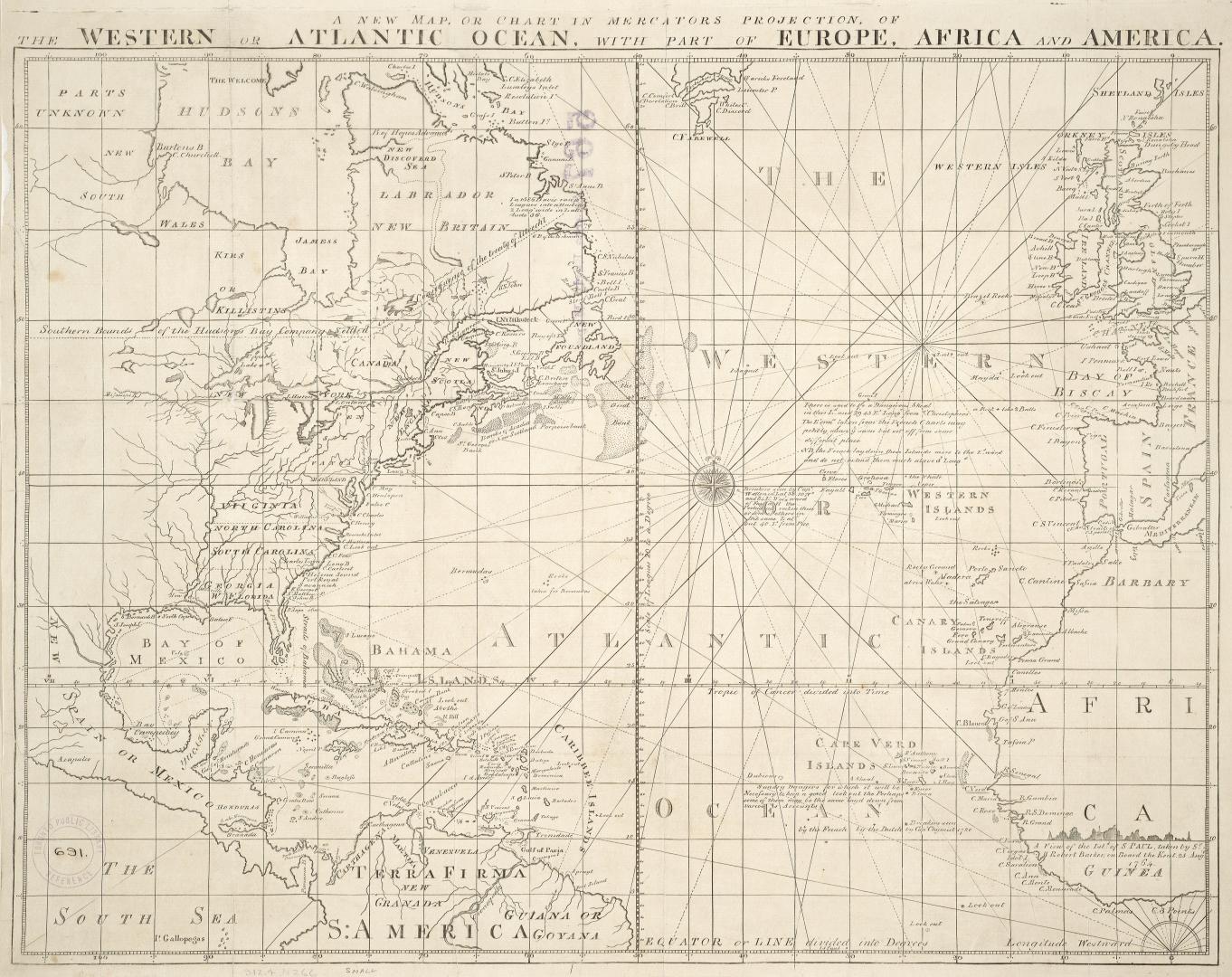

A new map or chart in Mercators projection of the Western or Atlantic Ocean, with part of Europe, Africa and America
Date1781
Names
J. Bew
(publisher)
Format
From The Political Magazine...for the year 1781, Vol. 2, p. 568.
Subject
Geograhical feature:Atlantic Ocean
Region or district:Europe
Medium
Dimensions39 cm x 51 cm (15 3/8 in. x 20 1/16 in.)
Language
CollectionBaldwin Collection of Canadiana
Usage Rights
Public Domain
(Learn More)
Call Number / Accession Number912-4-N266-SMALL
Dewey Number912. 4 N266 small