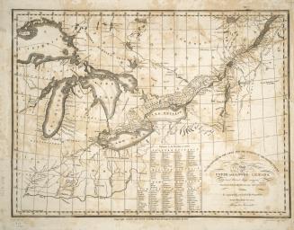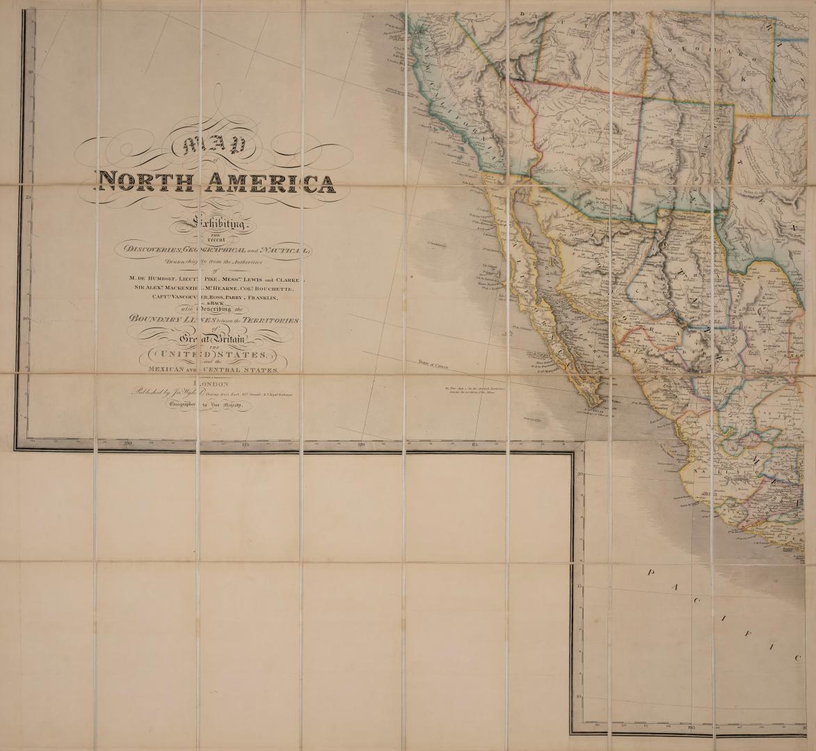

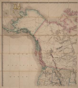
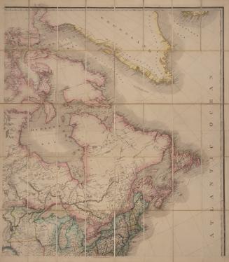
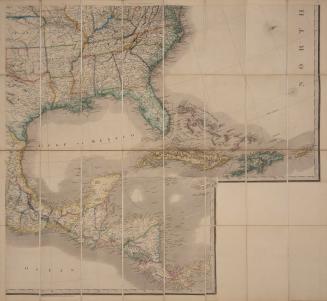
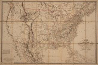
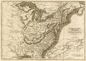
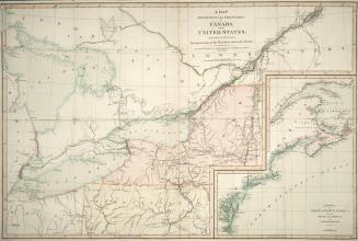
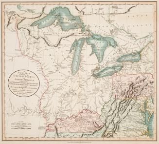
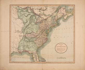
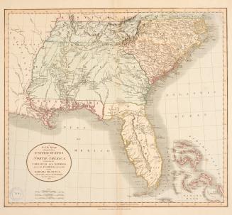
Map of North America, exhibiting the recent discoveries, geographical and nautical, drawn chiefly from the authorities of M. de Humbolt, Lieut. Pike, Messrs Lewis and Clarke, Sir Alex. Mackenzie (and others) also describing the boundary lines between the territories of Great Britain, the United States, and the Mexican and Central States
Date1865
Names
Wyld, James, 1812-1887
(publisher)
Wyld, James, 1812-1887
(cartographer)
FormatMap
NotesFour map sheets make up larger map (North-East, North-West, South-East, South-West).
Subject
Medium
Dimensions81.5 cm x 89 cm (32 1/16 in. x 35 1/16 in.)
Language
CollectionBaldwin Collection of Canadiana
Usage Rights
Public Domain
(Learn
More)
Object Number912-7-W92-SW-FRAGILE-FOLD

1835-03-06