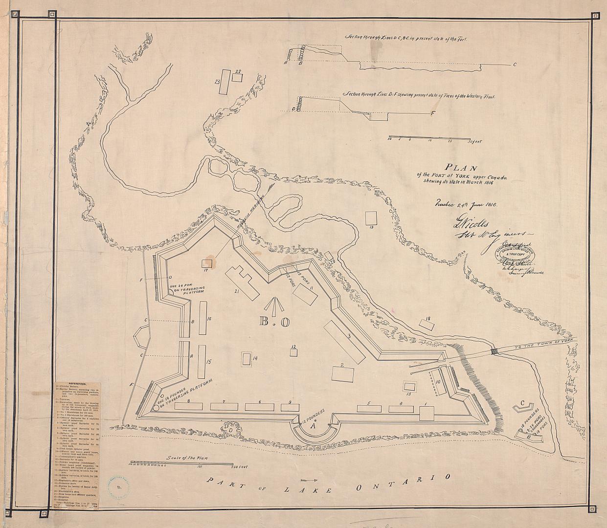

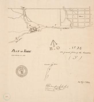
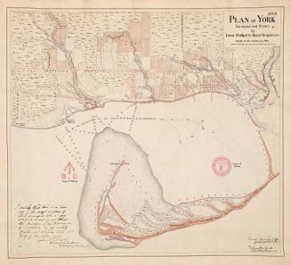
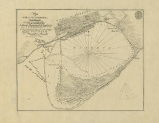
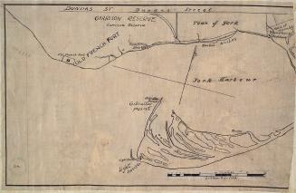
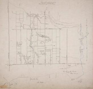
(1816) Plan of the fort at York Upper Canada shewing its state in March 1816
DateApproximately 1908
Names
Nicolls, Gustavus
(cartographer)
Royal Engineers Office (Quebec)
(publisher)
Robertson, J. Ross (John Ross), 1841-1918
(contributor)
Format
Approximately 1908 reproduction of original 1816 map from the Archives Department, Ottawa (current day Library and Archives Canada)
Country:Canada
Building, monument or park:Fort York
City, town or township:Toronto
Geograhical feature:Lake Ontario
Historical location:Upper Canada
Neighbourhood:Garrison
Province or state:Ontario
Dimensions72.5 cm x 79 cm (28 9/16 in. x 31 1/8 in.)
Scale1 inch = 60 feet
Language
ProvenanceGift of John Ross Robertson (JRR collection #8)
CollectionBaldwin Collection of Canadiana
Usage Rights
Public Domain
(Learn More)
Call Number / Accession NumberT-1816-2-LARGE
Approximately 1908

Approximately 1908
Approximately 1908
1759
Approximately 1910
1759