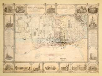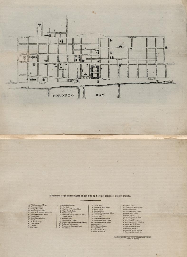

Toronto in 1834
Date1834
Names
Todd, Alpheus, 1821-1884
(cartographer)
Format
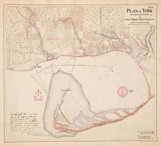
This map was drawn by Alpheus Todd when he was just 13 years old. He was born in England in 1821 and came to York (Toronto), Upper Canada with his parents in 1833. The following year after his arrival, York was incorporated as the City of Toronto. The young Todd created an engraved plan of the city by walking through the streets and converting his paces to a scale. The map provides the location of over fifty assorted places of interest in the newly incorporated city.
Country:Canada
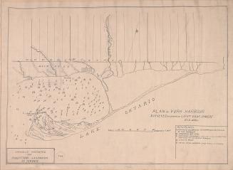
Building, monument or park:Toronto Harbour
City, town or township:Toronto
Geograhical feature:Lake Ontario
Neighbourhood:Railway Lands
Province or state:Ontario
Medium
Dimensions41.5 cm x 25 cm (16 5/16 in. x 9 13/16 in.)
Extent
- 29 x 22.5 cm map on sheet measuring 41.5 x 25 cm
Language
CollectionBaldwin Collection of Canadiana
Usage Rights
Public Domain
(Learn More)
Call Number / Accession NumberT-1834-1-SMALL
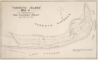
Approximately 1908